Forest Edge
Lower surrounding development.
Environmental Engineering · Student Portfolio
I am a student exploring how water, infrastructure, and human communities interact. Through research, environmental projects, field experiences, and photography, I am learning how engineering can help create more resilient places.
Explore my research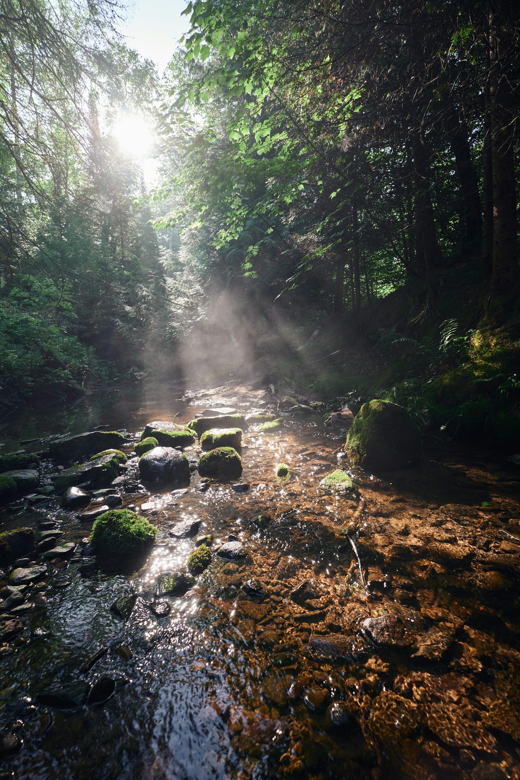
01 / About
I am especially interested in the places where natural systems and human infrastructure meet—rivers shaped by cities, neighborhoods affected by stormwater, and landscapes responding to environmental change.
That interest began with observing local waterways and grew through science classes, environmental research, community projects, and a camera carried on long walks. Each experience taught me to notice patterns: where water collects, how a creek changes after rain, and how design decisions ripple through an ecosystem.
Environmental engineering appeals to me because it transforms observation into action: measuring a problem, understanding the system behind it, and designing a practical response.
02 / Featured Research
A fictional student study connecting rainfall, land use, and watershed health.
Research project
This fictional student research project examines how rainfall and nearby development may influence turbidity, nitrate levels, and other basic indicators of water quality at three sampling locations within the same watershed.
Research question
How do water-quality indicators differ between sampling locations with different levels of surrounding urban development?
Method / Sites
Samples were collected before and after rainfall at three points in one fictional urban watershed.
Lower surrounding development.
Moderate surrounding development.
More paved surface nearby.
Chart 01 / NTU
The largest increase appeared at Site C.
Chart 02 / mg/L
The fictional dataset suggests a relationship worth investigating between surrounding land use and observed water-quality differences.
| Location | Before rain | After rain |
|---|---|---|
| Forest Edge | 3.1 | 6.8 |
| Residential Creek | 4.2 | 12.6 |
| Commercial Corridor | 5.0 | 21.4 |
| Location | Nitrate |
|---|---|
| Forest Edge | 0.8 |
| Residential Creek | 1.6 |
| Commercial Corridor | 2.7 |
Research findings
Turbidity increased at all three locations after rainfall.
The largest change appeared at the site surrounded by the greatest amount of paved development.
The project raised questions about runoff, drainage systems, vegetation, and long-term monitoring.
Sample research data created for this Student Branding demo.
03 / Community
Environmental questions become more meaningful when they are shared and acted on.
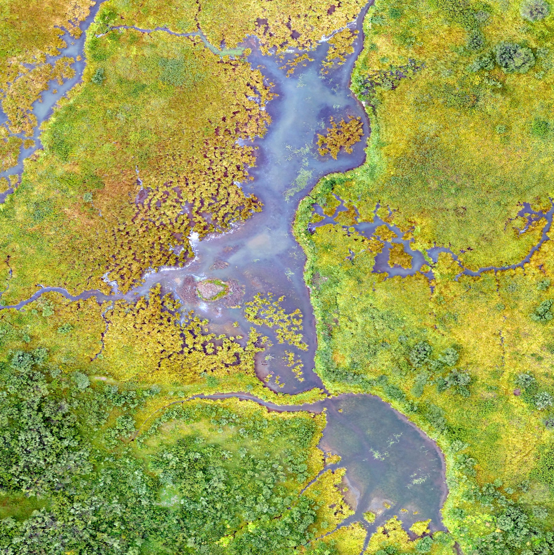
Environmental Club
Helped organize student-led projects focused on waste reduction, environmental awareness, and local ecosystem stewardship.
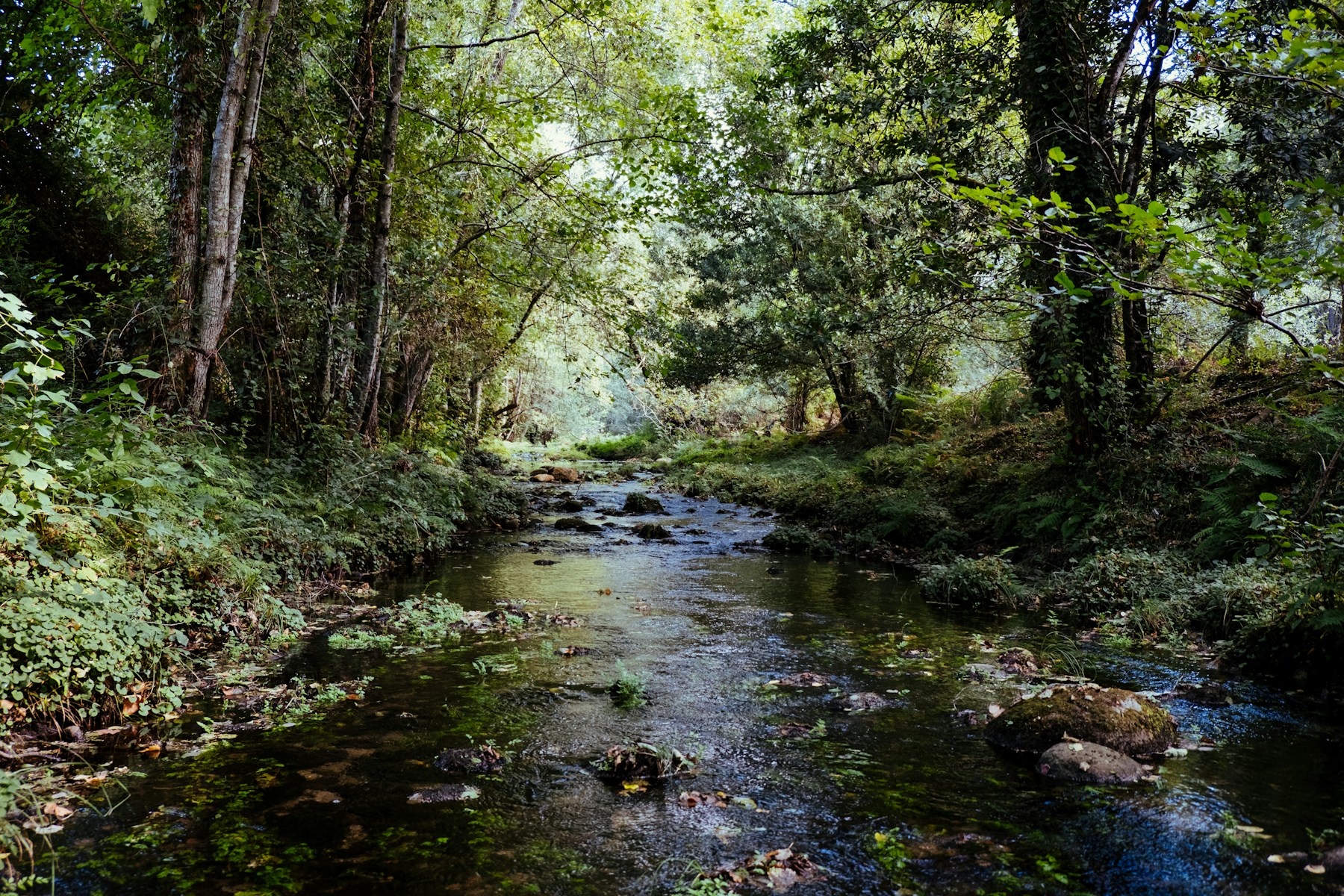
Watershed Volunteering
Participated in local cleanup and restoration events while learning how small community actions can support healthier waterways.
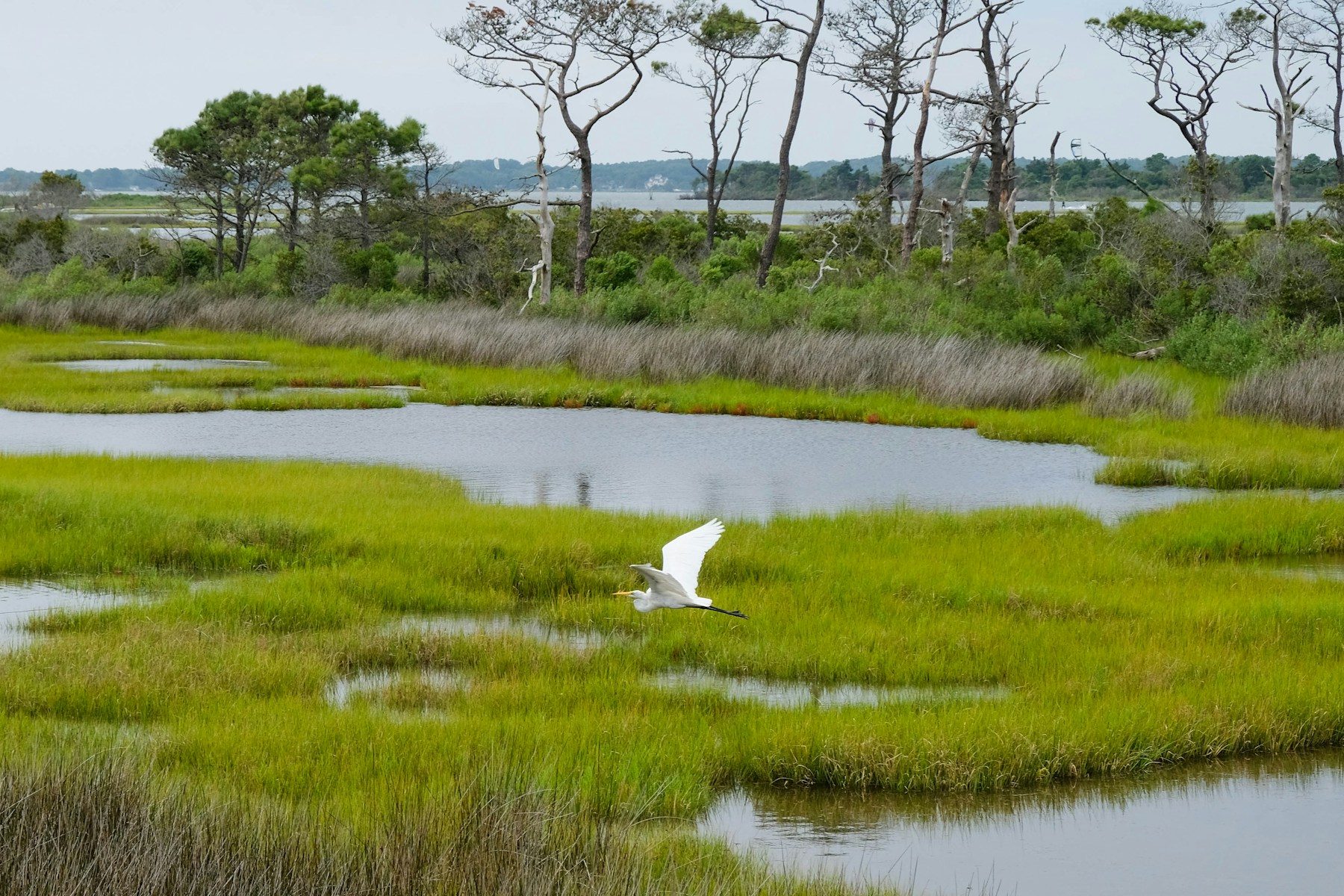 Field study / 38.2° N
04 / Field Experience
Summer Environmental Engineering Institute
Fictional demo program
A three-week summer experience exploring water systems, environmental data, sustainable infrastructure, and engineering design through collaborative lab and field activities.
05 / Photography
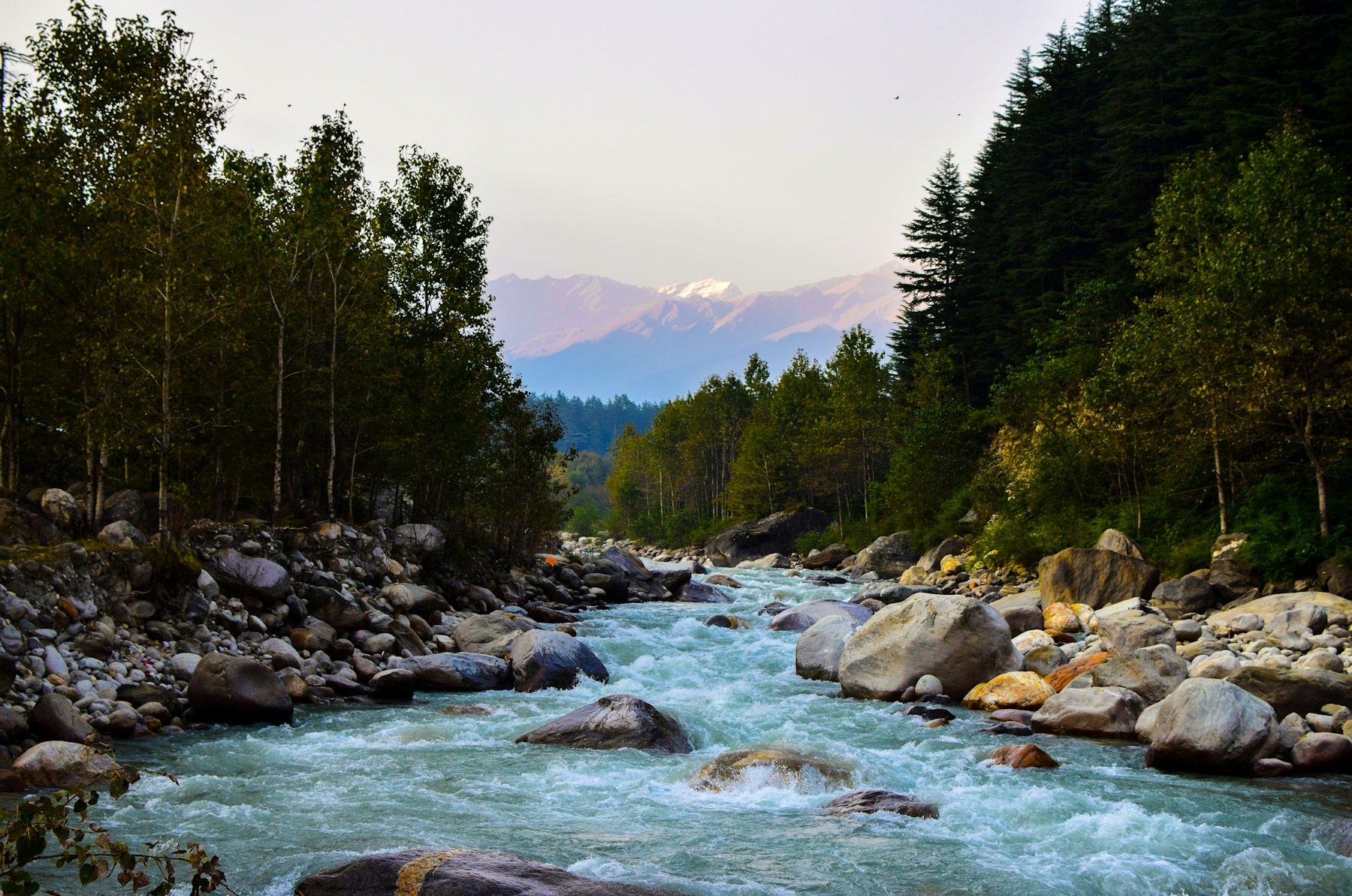
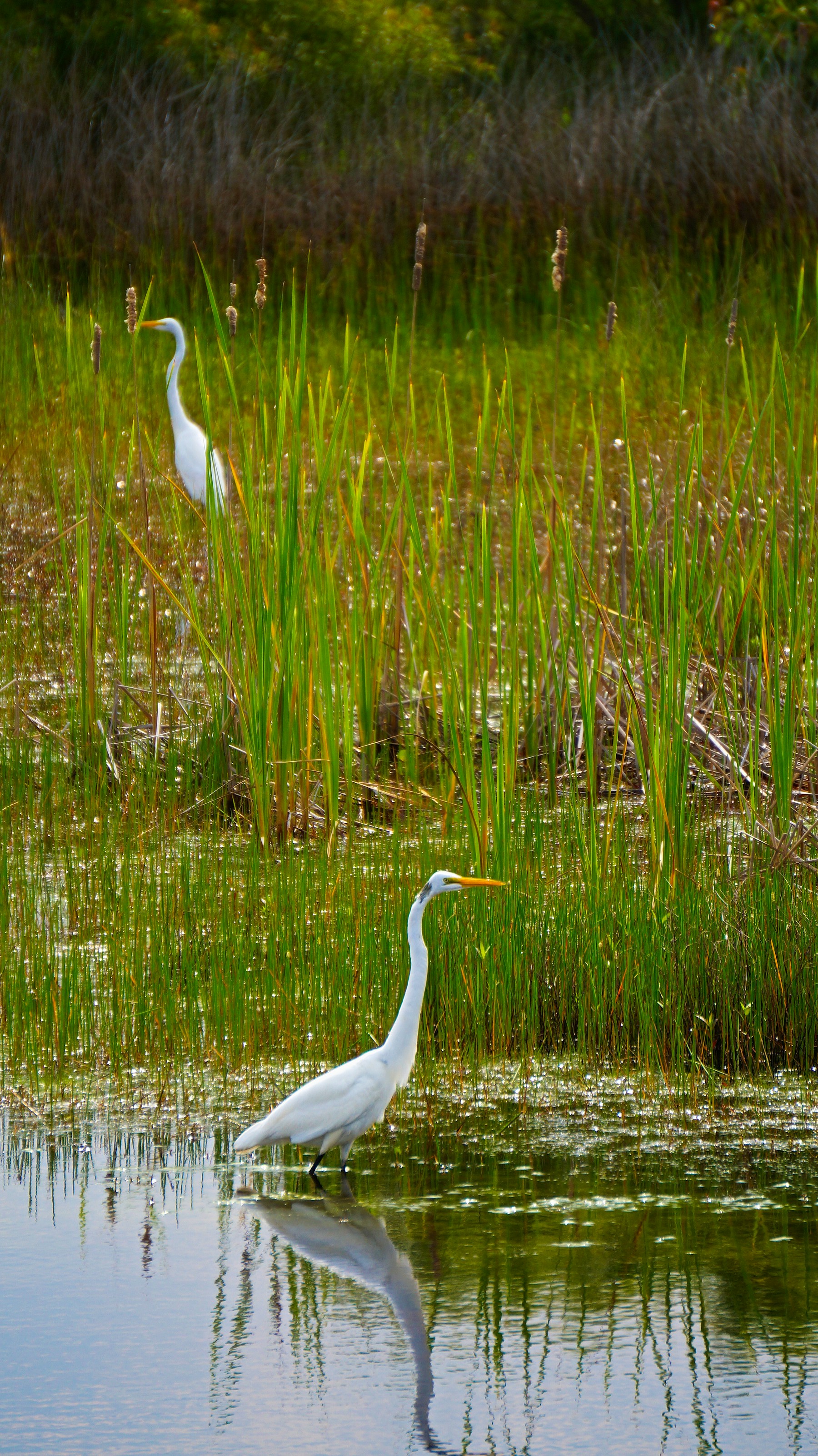
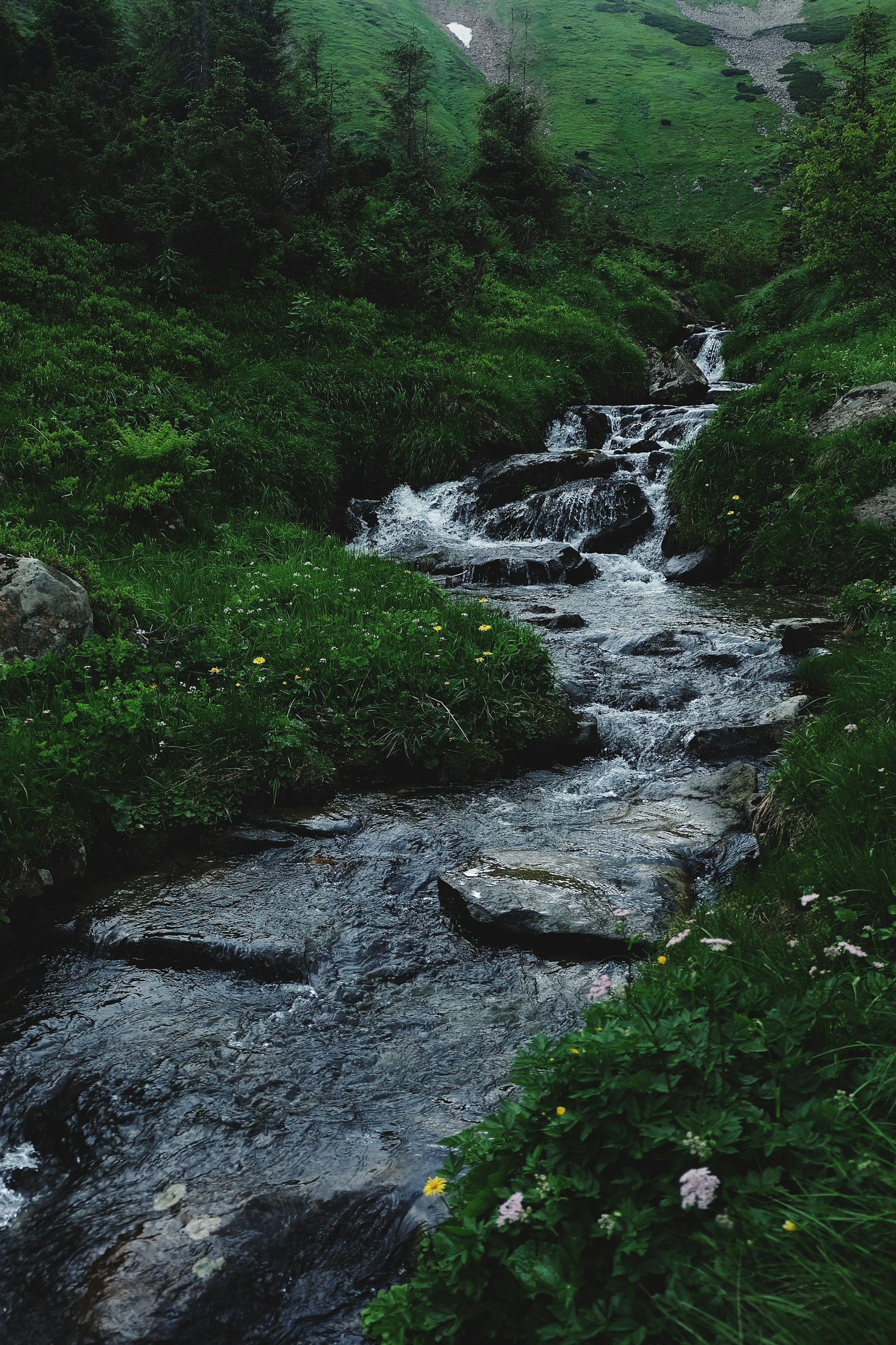
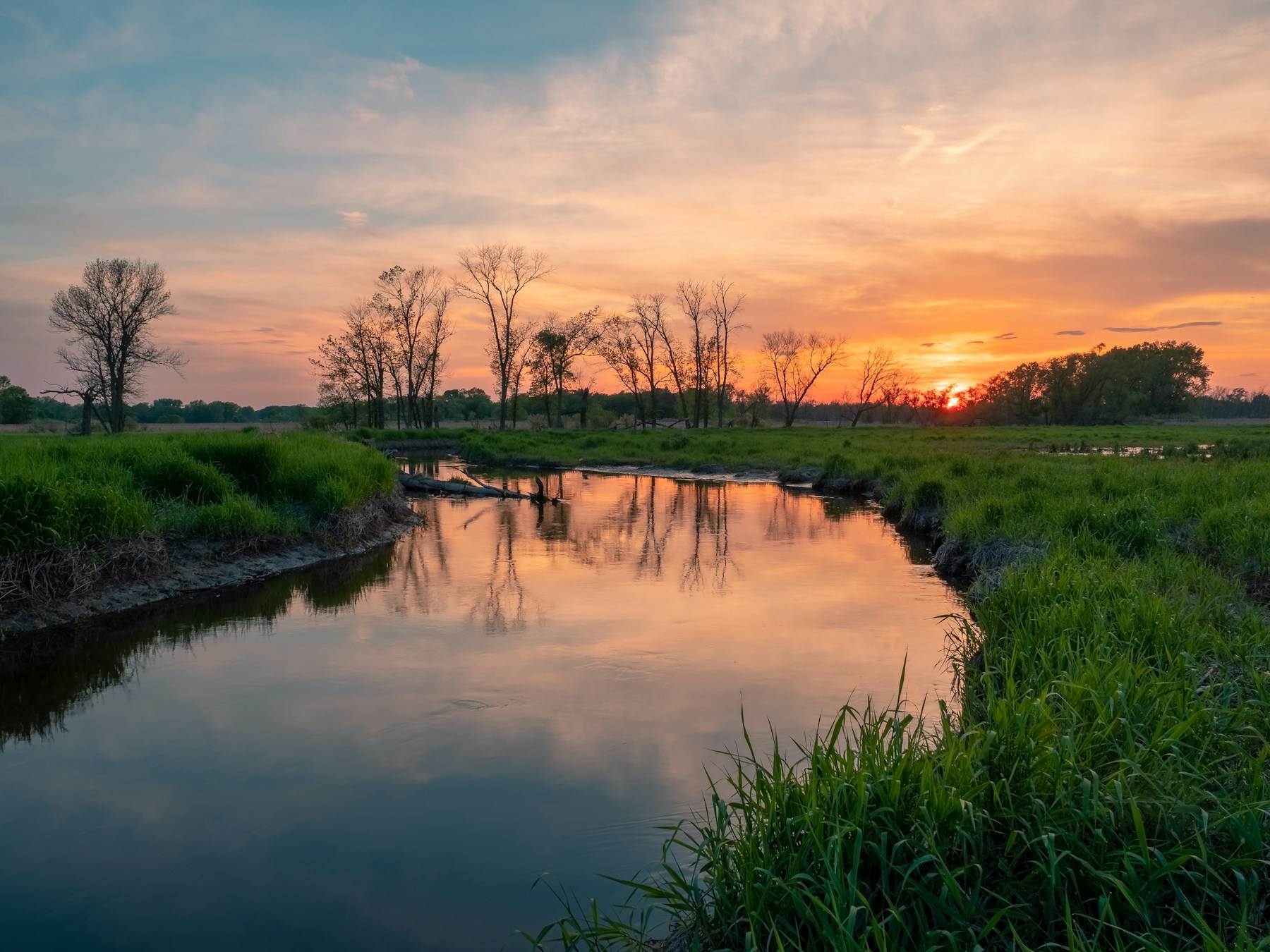
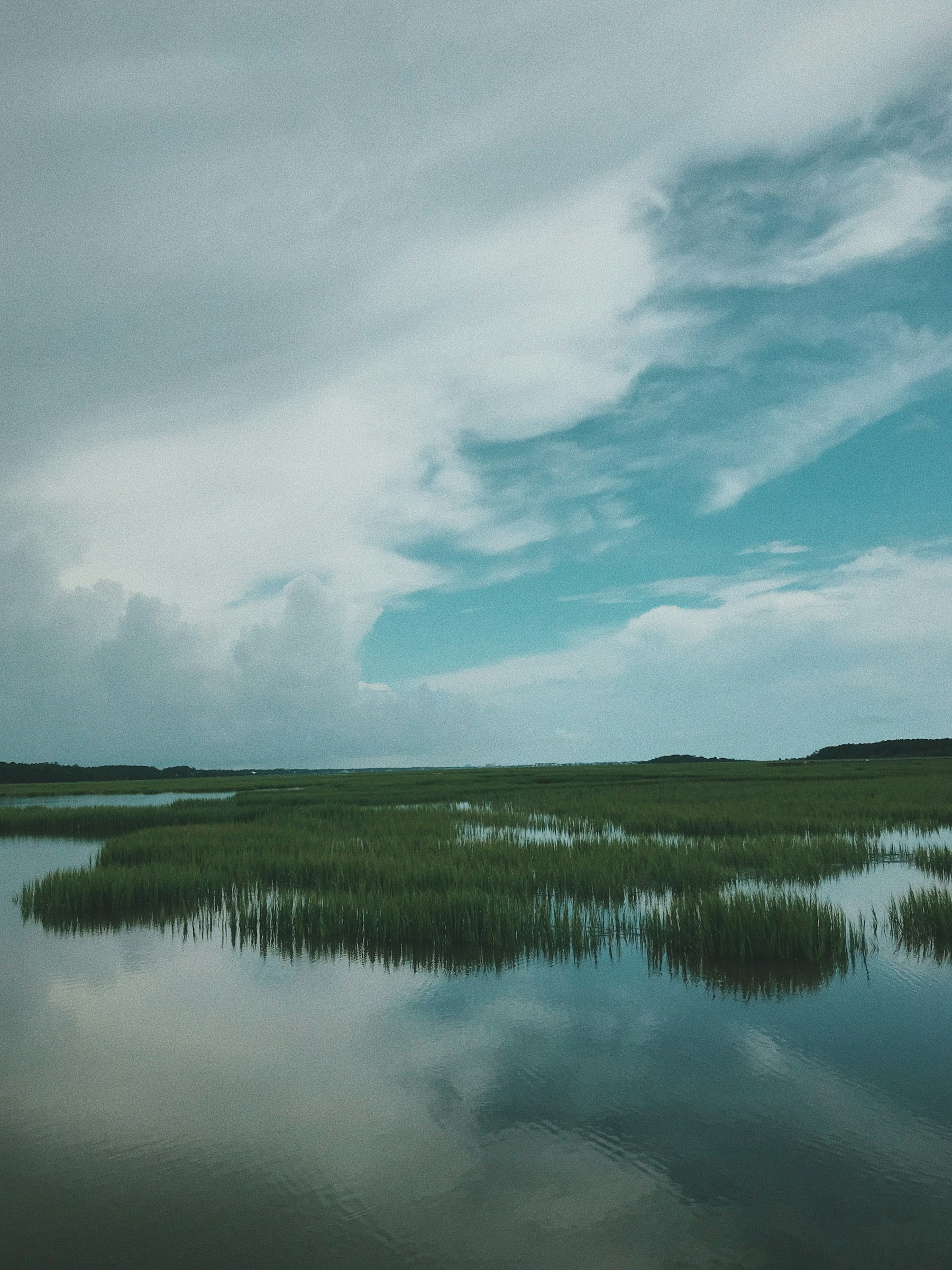
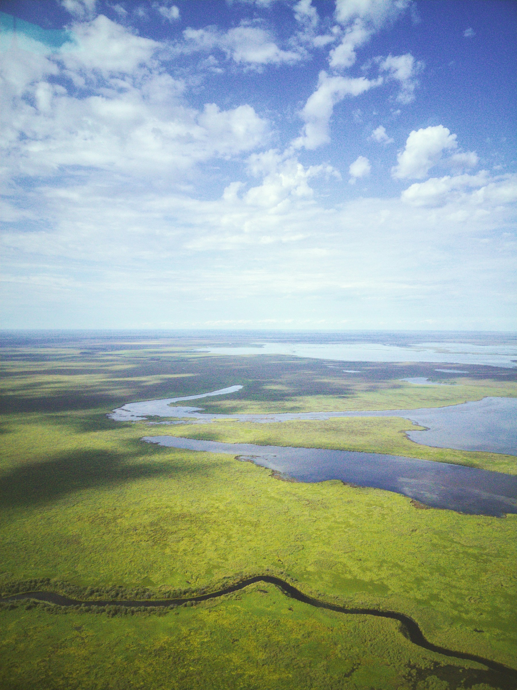
Photography has taught me to slow down, observe patterns, and notice the relationship between land, water, light, weather, and the built environment.
Sample imagery sourced from Unsplash for this fictional portfolio demo.
06 / Recognition
Awards shown are fictional examples created for this portfolio demo.
Regional Student Science Fair
Academic Recognition
Regional Research Symposium
Academic & Community Leadership
The next question
I hope to continue exploring how science, design, and engineering can help communities respond to environmental challenges.